Combined Impacts of Temperature, Sea Ice Coverage, and Mixing Ratios of Sea Spray and Dust on Cloud Phase Over the Arctic and Southern Oceans
Geophysical Research Letters Wiley 51:20 (2024) e2024GL110325
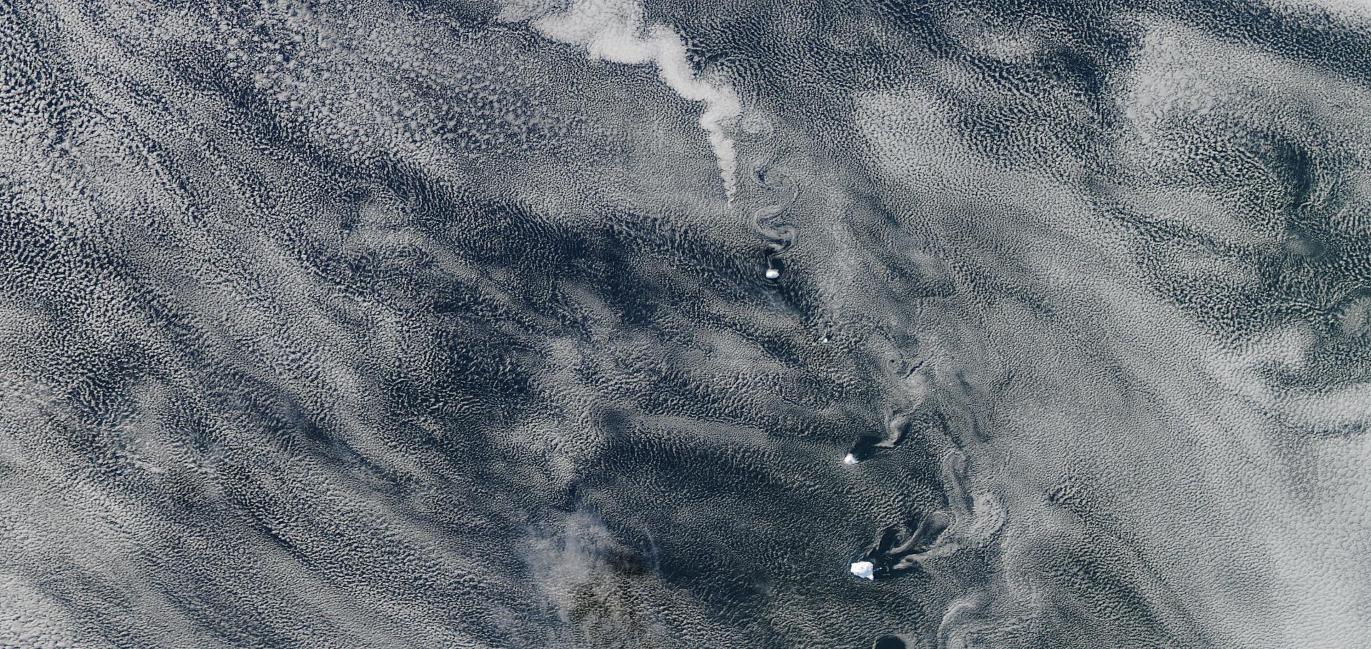
Abstract:
We analyze the importance of cloud top temperature, dust aerosol, sea salt aerosol, and sea ice cover for the thermodynamic phase of low‐level, mid‐level, and mid to low‐level clouds observed by CloudSat/CALIPSO over the Arctic and the Southern Ocean using an explainable machine learning technique. As expected, the cloud top temperature is found to be the most important parameter for determining cloud phase. The results show also a predictive power of sea salt and sea ice on the phase of low‐level clouds, while in mid‐level clouds dust shows predictive power. Over the Southern Ocean, strong zonal winds coincide with the aerosol distribution. While they can produce high mixing ratios of sea spray at lower levels, the strong zonal winds may prevent the pole‐ward transport of dust. Sea ice may prevent the release of sea salt aerosols and marine organic aerosols leading to higher liquid fractions in clouds over sea ice.Multifractal Analysis for Evaluating the Representation of Clouds in Global Kilometre-Scale Models
(2024)
AI-accelerated Nazca survey nearly doubles the number of known figurative geoglyphs and sheds light on their purpose.
Proceedings of the National Academy of Sciences of the United States of America 121:40 (2024) e2407652121
Abstract:
It took nearly a century to discover a total of 430 figurative Nazca geoglyphs, which offer significant insights into the ancient cultures at the Nazca Pampa. Here, we report the deployment of an AI system to the entire Nazca region, a UNESCO World Heritage site, leading to the discovery of 303 new figurative geoglyphs within only 6 mo of field survey, nearly doubling the number of known figurative geoglyphs. Even with limited training examples, the developed AI approach is demonstrated to be effective in detecting the smaller relief-type geoglyphs, which unlike the giant line-type geoglyphs are very difficult to discern. The improved account of figurative geoglyphs enables us to analyze their motifs and distribution across the Nazca Pampa. We find that relief-type geoglyphs depict mainly human motifs or motifs of things modified by humans, such as domesticated animals and decapitated heads (81.6%). They are typically located within viewing distance (on average 43 m) of ancient trails that crisscross the Nazca Pampa and were most likely built and viewed at the individual or small-group level. On the other hand, the giant line-type figurative geoglyphs mainly depict wild animals (64%). They are found an average of 34 m from the elaborate linear/trapezoidal network of geoglyphs, which suggests that they were probably built and used on a community level for ritual activities.Pushing the frontiers in climate modelling and analysis with machine learning
Nature Climate Change Springer Nature 14:9 (2024) 916-928
Abstract:
Climate modelling and analysis are facing new demands to enhance projections and climate information. Here we argue that now is the time to push the frontiers of machine learning beyond state-of-the-art approaches, not only by developing machine-learning-based Earth system models with greater fidelity, but also by providing new capabilities through emulators for extreme event projections with large ensembles, enhanced detection and attribution methods for extreme events, and advanced climate model analysis and benchmarking. Utilizing this potential requires key machine learning challenges to be addressed, in particular generalization, uncertainty quantification, explainable artificial intelligence and causality. This interdisciplinary effort requires bringing together machine learning and climate scientists, while also leveraging the private sector, to accelerate progress towards actionable climate science.Has Reducing Ship Emissions Brought Forward Global Warming?
Geophysical Research Letters Wiley Open Access 51:15 (2024) e2024GL109077