Home
Department Of Physics text logo
  • Research
    • Our research
    • Our research groups
    • Our research in action
    • Research funding support
    • Summer internships for undergraduates
  • Study
    • Undergraduates
    • Postgraduates
  • Engage
    • For alumni
    • For business
    • For schools
    • For the public
Menu
Atomic and Laser Physics
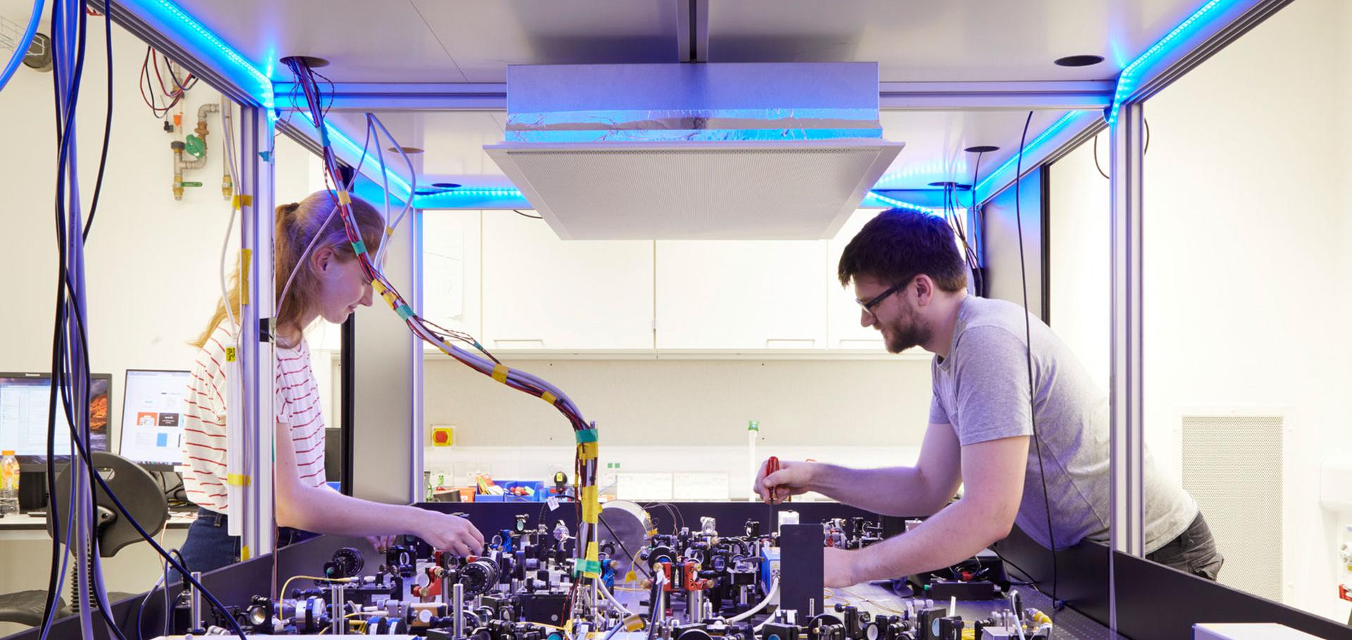
Credit: Jack Hobhouse

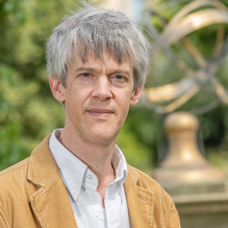
Prof Christopher Ramsey

Professor of Archaeological Science

Research theme

  • Accelerator physics
  • Climate physics
  • Instrumentation

Sub department

  • Atomic and Laser Physics
christopher.ramsey@physics.ox.ac.uk
Telephone: 01865285215
School of Archaeology
  • About
  • Publications

Birdmen, cemís and duhos: Material studies and AMS 14C dating of Pre-Hispanic Caribbean wood sculptures in the British Museum

Journal of Archaeological Science 40:12 (2013) 4675-4687

Authors:

J Ostapkowicz, C Bronk Ramsey, F Brock, C Cartwright, R Stacey, M Richards

Abstract:

This paper presents 19 AMS radiocarbon dates from nine pre-Hispanic Caribbean (Taíno/Lucayan) wooden sculptures in the British Museum collections, provenanced to Jamaica, Hispaniola and the Bahamas. Together with strontium isotope results and wood and resin identifications, these data build a material and chronological context for some of the most recognised examples of Taíno art - from duhos (ceremonial seats) and cemís (free standing depictions of deities, ancestors and spirits) to canopied stands used to hold hallucinogenic drugs during the cohoba ceremony. Each sculpture widens our understanding of Caribbean carving traditions, stylistic variation, chronologies and material resource utilisation. A group of three sculptures recovered from Carpenters Mountains, Jamaica, carved by AD 1300 and brought together as a ceremonial 'set', each appear to have had their inlays renewed over a century later, suggesting long-term use. Three key examples of the main Caribbean duho categories (high-back, low-back and extended), provide insights into the diversity of styles present in the region post-AD 1100. The British Museum's corpus enables an exploration of regional styles, and potentially the work of individual artists. © 2013.
More details from the publisher
More details

Coalescent community at Alsónyék: The timings and duration of Lengyel burials and setdement

Bericht der Romisch-Germanischen Kommission 94 (2013) 179-182

Authors:

A Osztás, I Zalai-Gaál, E Bánfify, T Marton, ÉÁ Nyerges, K Köhler, K Somogyi, Z Gallina, CB Ramsey, E Dunbar, B Kromer, A Bayliss, D Hamilton, P Marshall, A Whittle

Abstract:

The Neolithic settlement of Alsónyék reached its greatest extent during the Late Neolithic Lengyel period. Nearly 9000 features, including postholes associated with 122 houses, pits and pit complexes, and c. 2300 burials, could be assigned to it. The traces of Lengyel settlement and burials were found over the entire excavated area, with an estimated extent of some 80 ha. The burials uncovered mostly form part of groups of graves, actually being small cemeteries within the various parts of the settlement. Apart from the grave groups, several solitary or scattered graves were also found. Other large Lengyel burial grounds or large Lengyel settlements with numerous burials are known in Transdanubia, but the enormous number of graves at Alsónyék is unprecedented within the Lengyel cultural complex as a whole, and provides exciting opportunities for varied archaeological and bioarchaeological investigations. The discovery of 122 surface-level, timber-framed houses at a single site is also unique for the area and the Lengyel period as a whole. These buildings help to build a better understanding of the architecture and lifestyle of the Lengyel population, which is a fairly new strand in the settlement archaeology of the Lengyel culture in Hungary and beyond. This and the sheer size of the site make Alsónyék exceptionally significant. Altogether 217 radiocarbon results are presented for the Lengyel phase. For the purpose of analysis subsites 5603, 11 and 10B have been modelled separately. The modelled estimates are precise enough that it is possible to estimate robustly the timing of activity across the site. The modelling suggests that burial activity in subsite 5603 probably began in 4790-4740 cal BC (68% probability) and that it began at a similar time, 4795-4745 cal BC (68% probability), in subsite 11. An intensive period of burial began slightly later, in 4715-4690 cal BC (68% probability), on subsite 10B. At this time settlement was established across a wide area, in subsite 11 from 4745-4690 cal BC (68% probability), on subsite 5603 from 4745-4665 cal BC (68% probability), and on subsite 10B from 4720-4700 cal BC (68% probability). After a brief episode of intense occupation, lasting at most a few decades, settlement and then burial ended on the northernmost subsite 10B, in the 4700s or 4690s cal BC (68% probability) and 4695-4670 cal BC (68% probability) respectively. Settlement also ended before burial on subsite 11, but endured for much longer. The settlement here ended in 4670-4620 cal BC (37% probability) or 4610-4565 cal BC (31% probability) and burial in 4585-4515 cal BC (68% probability). Both settlement and burial endured longest on sub-site 5603, although here the end of burial preceded the end of settlement by well over a century. Burial ended here in 4515-4465 cal BC (68% probability), and settlement ended in 4345-4245 cal BC (68% probability).

IntCal13 and Marine13 radiocarbon age calibration curves 0-50,000 years cal BP

Radiocarbon 55:4 (2013) 1869-1887

Authors:

PJ Reimer, E Bard, A Bayliss, JW Beck, PG Blackwell, C Bronk Ramsey, CE Buck, H Cheng, RL Edwards, M Friedrich, PM Grootes, TP Guilderson, H Haflidason, I Hajdas, C Hatté, TJ Heaton, DL Hoffmann, AG Hogg, KA Hughen, KF Kaiser, B Kromer, SW Manning, M Niu, RW Reimer, DA Richards, EM Scott, JR Southon, RA Staff, CSM Turney, J van der Plicht

Abstract:

The IntCal09 and Marine09 radiocarbon calibration curves have been revised utilizing newly available and updated data sets from 14C measurements on tree rings, plant macrofossils, speleothems, corals, and foraminifera. The calibration curves were derived from the data using the random walk model (RWM) used to generate IntCal09 and Marine09, which has been revised to account for additional uncertainties and error structures. The new curves were ratified at the 21st International Radiocarbon conference in July 2012 and are available as Supplemental Material at www.radiocarbon.org. The database can be accessed at http://intcal.qub.ac.uk/intcal13/. © 2013 by the Arizona Board of Regents on behalf of the University of Arizona.
More details from the publisher
More details

Integration of the old and new Lake Suigetsu (Japan) terrestrial radiocarbon calibration data sets

Radiocarbon 55:4 (2013) 2049-2058

Authors:

RA Staff, G Schlolaut, C Bronk Ramsey, F Brock, CL Bryant, H Kitagawa, J van der Plicht, MH Marshall, A Brauer, HF Lamb, RL Payne, PE Tarasov, T Haraguchi, K Gotanda, H Yonenobu, Y Yokoyama, T Nakagawa

Abstract:

The varved sediment profile of Lake Suigetsu, central Japan, offers an ideal opportunity from which to derive a terrestrial record of atmospheric radiocarbon across the entire range of the 14C dating method. Previous work by Kitagawa and van der Plicht (1998a,b, 2000) provided such a data set; however, problems with the varve-based age scale of their SG93 sediment core precluded the use of this data set for 14C calibration purposes. Lake Suigetsu was re-cored in summer 2006, with the retrieval of overlapping sediment cores from 4 parallel boreholes enabling complete recovery of the sediment profile for the present "Suigetsu Varves 2006" project (Nakagawa et al. 2012). Over 550 14C determinations have been obtained from terrestrial plant macrofossils picked from the latter SG06 composite sediment core, which, coupled with the core's independent varve chronology, provides the only non-reservoir-corrected 14C calibration data set across the 14C dating range. Here, physical matching of archive U-channel sediment from SG93 to the continuous SG06 sediment profile is presented. We show the excellent agreement between the respective projects' 14C data sets, allowing the integration of 243 14C determinations from the original SG93 project into a composite Lake Suigetsu 14C calibration data set comprising 808 individual 14C determinations, spanning the last 52,800 cal yr. © 2013 by the Arizona Board of Regents on behalf of the University of Arizona.
More details from the publisher
More details

Longhouse times: Dating the Alsónyék LBK settlement

Bericht der Romisch-Germanischen Kommission 94 (2013) 123-149

Authors:

K Oross, A Osztás, T Marton, ÉÁ Nyerges, K Köhler, Z Gallina, K Somogyi, E Bánffy, CB Ramsey, T Goslar, D Hamilton

Abstract:

In the central part of the main area of the Alsónyék complex investigated an LBK settlement was discovered. The features belonging to the LBK occupation were uncovered in subsites 10B, 11 and 5603. The location of houses could be determined by the long pits flanking presumed timber-framed constructions; postholes are very poorly preserved. Fifty house plans could be identified, most of them based on the long pits. Most Neolithic archaeologists agree that the western part of the Carpathian basin served as the cradle of the LBK. The Balaton area and the region south of the lake had an important role in the development of the culture and in the spread of the Neolithic to central Europe. Southern Transdanubia, however, has previously been a veritable terra incognita for settlement research of the culture, despite the evidence for LBK sites from the region. Dating of the LBK occupation was funded by the OTKA project, Alsónyék from the beginning of food production to the end of the Neolithic and has been undertaken in a cooperation with the ERC-funded project, The Times of Their Lives. The aim has been to provide formally modelled date estimates of the timing and duration of the LBK occupation at Alsónyék, to gain insight into intra-site development and dynamics, and further the absolute chronology of the LBK on a regional scale. This paper presents 23 radiocarbon dates from 21 samples, interpreted within a formal chronological framework, for the LBK settlement at Alsónyék. The Bayesian model presented estimates that LBK activity probably began in 5335-5280 cal BC (68% probability), probably lasted for 290-410 years (68% probability), and probably ended in 5010-4915 cal BC (68% probability).

Pagination

  • First page First
  • Previous page Prev
  • …
  • Page 34
  • Page 35
  • Page 36
  • Page 37
  • Current page 38
  • Page 39
  • Page 40
  • Page 41
  • Page 42
  • …
  • Next page Next
  • Last page Last

Footer Menu

  • Contact us
  • Giving to the Dept of Physics
  • Work with us
  • Media

User account menu

  • Log in

Follow us

FIND US

Clarendon Laboratory,

Parks Road,

Oxford,

OX1 3PU

CONTACT US

Tel: +44(0)1865272200

University of Oxfrod logo Department Of Physics text logo
IOP Juno Champion logo Athena Swan Silver Award logo

© University of Oxford - Department of Physics

Cookies | Privacy policy | Accessibility statement

Built by: Versantus

  • Home
  • Research
  • Study
  • Engage
  • Our people
  • News & Comment
  • Events
  • Our facilities & services
  • About us
  • Current students
  • Staff intranet