Home
Department Of Physics text logo
  • Research
    • Our research
    • Our research groups
    • Our research in action
    • Research funding support
    • Summer internships for undergraduates
  • Study
    • Undergraduates
    • Postgraduates
  • Engage
    • For alumni
    • For business
    • For schools
    • For the public
Menu
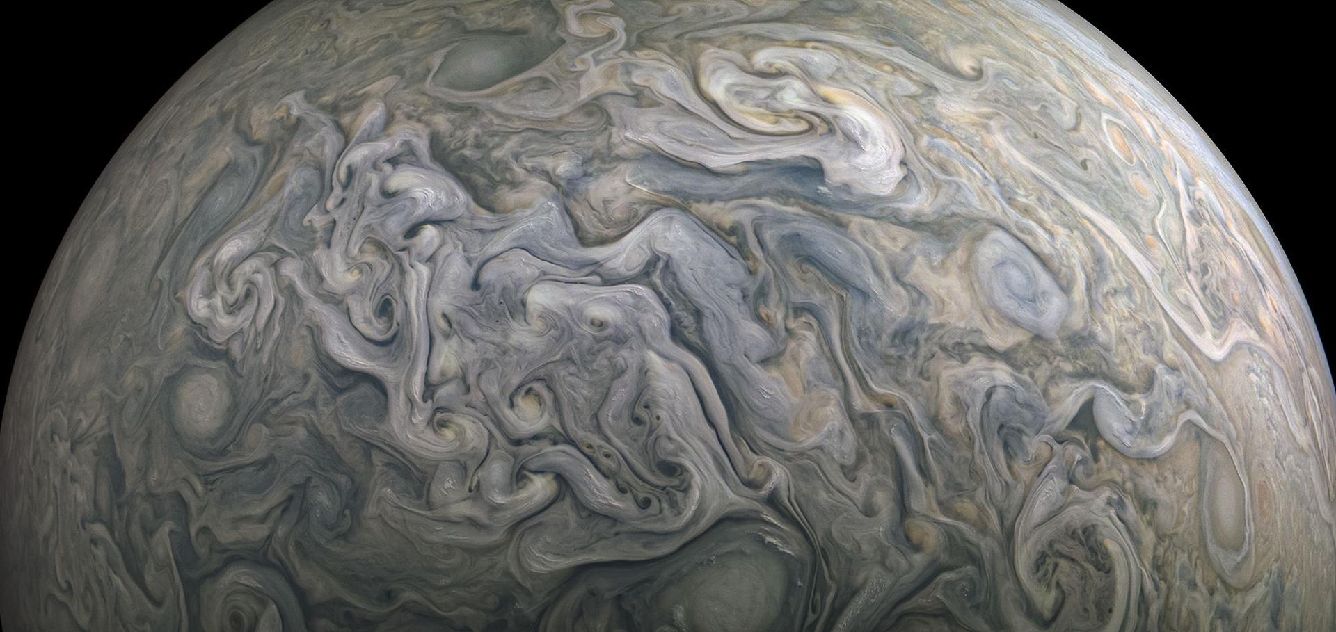
Juno Jupiter image

Dr Adam Povey FRMetSoc FHEA

Visitor

Research theme

  • Climate physics

Sub department

  • Atmospheric, Oceanic and Planetary Physics

Research groups

  • Earth Observation Data Group
Adam.Povey@physics.ox.ac.uk
Robert Hooke Building, room S46
  • About
  • Teaching
  • Publications

The Challenges and Limitations of Validating Satellite-Derived Datasets Using Independent Measurements: Lessons Learned from Essential Climate Variables

Surveys in Geophysics Springer Science and Business Media LLC (2025)

Authors:

Mary Langsdale, Tijl Verhoelst, Adam Povey, Nick Schutgens, Thomas Dowling, Jean-Christopher Lambert, Steven Compernolle, Stefan Kern

Abstract:

Abstract Validation of satellite-derived essential climate variable (ECV) datasets requires comparison against independent measurements. These independent measurements, which include ground-based, airborne, and other non-satellite-based measurements, are typically the product of a different measurement system and may include some contribution from models. These reference data therefore have their own characteristics, uncertainties, and limitations which must be accounted for in the validation process. In addition, they typically differ from the data to be validated in spatio-temporal resolution, sensitivity, and sampling. As such, comparisons to independent data do not necessarily yield clear feedback on the quality of satellite data and insufficient awareness of these issues can lead to erroneous interpretation. This is the cost of leaving the laboratory and studying the real world. In this review paper, we examine the challenges and limitations of evaluating satellite-derived datasets with independent measurements, using examples across different ECVs within the terrestrial, ocean, and atmospheric domains. Drawing from other studies, we discuss issues with the reference datasets themselves, issues specific to use of these data for validation, and issues resulting from the comparison methodology. We conclude with recommendations to the community based on this review. In this, we highlight the importance of continued efforts towards (1) advancing uncertainty modelling of reference datasets and quality control knowledge and procedures, (2) establishing and communicating limitations in reference data, (3) reference data (and metadata) timeliness and preservation, and (4) best practices for the validation methodologies that address the spatio-temporal differences of the measurements.
More details from the publisher

Making Sense of Uncertainties: Ask the Right Question

Surveys in Geophysics Springer Science and Business Media LLC (2025)

Authors:

Alexander Gruber, Claire E Bulgin, Wouter Dorigo, Owen Embury, Maud Formanek, Christopher Merchant, Jonathan Mittaz, Joaquín Muñoz-Sabater, Florian Pöppl, Adam Povey, Wolfgang Wagner

Abstract:

Abstract Earth observation data should inform decision making, but good decisions can only be made if the uncertainties in the data are taken into account. Making sense of uncertainty information can be difficult, because uncertainties represent the statistical spread in the observations (e.g., expressed as $$x \pm y$$ x ± y ), which does not relate directly to one specific use case of the data. Here, we propose a Bayesian framework to transform Earth observation product uncertainties into actionable information, i.e., estimates of how confident one can be in the occurrence of specific events of interest given the data and their uncertainty. We demonstrate this framework using two case examples: (i) monitoring drought severity based on soil moisture and (ii) estimating coral bleaching risk based on sea surface temperature. In both cases, we show that ignoring uncertainties can easily lead to misinterpretation of the data, making any decisions based on these data unlikely to be the best course of action. The proposed framework is general and can, in principle, be applied to a wide range of applications. Doing so requires a careful dialogue between data users, to formulate meaningful use cases and decision criteria, and data producers, to provide a rigorous description of their data and its uncertainties. The next step would then be to confront the uncertainty-informed estimates of event probabilities (created by the framework proposed here) with the costs and benefits of possible courses of action in order to make the best possible decisions that maximize socioeconomic merit.
More details from the publisher

A Unified Framework for Trend Uncertainty Assessment in Climate Data Record: Application to the Analysis of the Global Mean Sea Level Measured by Satellite Altimetry

Copernicus Publications (2025)

Authors:

Kevin Gobron, Roland Hohensinn, Claire E Bulgin, Xavier Loizeau, Emma R Woolliams, Christopher J Merchant, Jon Mittaz, Adam C Povey, Mary Langsdale, Wouter Dorigo, Maurice G Cox, Michael Ablain, Anna Klos, Alexander Gruber, Janusz Bogusz
More details from the publisher

Making sense of uncertainties: Ask the right question

Copernicus Publications (2025)

Authors:

Alexander Gruber, Claire E Bulgin, Wouter Dorigo, Owen Embury, Maud Formanek, Christopher Merchant, Jonathan Mittaz, Joaquín Muñoz-Sabater, Florian Pöppl, Adam Povey, Wolfgang Wagner
More details from the publisher

Geostationary aerosol retrievals of extreme biomass burning plumes during the 2019–2020 Australian bushfires

Atmospheric Measurement Techniques Copernicus Publications 17:10 (2024) 3279-3302

Authors:

Daniel JV Robbins, Caroline A Poulsen, Steven T Siems, Simon R Proud, Andrew T Prata, Roy G Grainger, Adam C Povey

Abstract:

Extreme biomass burning (BB) events, such as those seen during the 2019-2020 Australian bushfire season, are becoming more frequent and intense with climate change. Ground-based observations of these events can provide useful information on the macro-and micro-physical properties of the plumes, but these observations are sparse, especially in regions which are at risk of intense bushfire events. Satellite observations of extreme BB events provide a unique perspective, with the newest generation of geostationary imagers, such as the Advanced Himawari Imager (AHI), observing entire continents at moderate spatial and high temporal resolution. However, current passive satellite retrieval methods struggle to capture the high values of aerosol optical thickness (AOT) seen during these BB events. Accurate retrievals are necessary for global and regional studies of shortwave radiation, air quality modelling and numerical weather prediction. To address these issues, the Optimal Retrieval of Aerosol and Cloud (ORAC) algorithm has used AHI data to measure extreme BB plumes from the 2019-2020 Australian bushfire season. The sensitivity of the retrieval to the assumed optical properties of BB plumes is explored by comparing retrieved AOT with AErosol RObotic NETwork (AERONET) level-1.5 data over the AERONET site at Tumbarumba, New South Wales, between 1 December 2019 at 00:00UTC and 3 January 2020 at 00:00UTC. The study shows that for AOT values >2, the sensitivity to the assumed optical properties is substantial. The ORAC retrievals and AERONET data are compared against the Japan Aerospace Exploration Agency (JAXA) Aerosol Retrieval Product (ARP), Moderate Resolution Imaging Spectroradiometer (MODIS) Deep Blue over land, MODIS MAIAC, Sentinel-3 SYN and VIIRS Deep Blue products. The comparison shows the ORAC retrieval significantly improves coverage of optically thick plumes relative to the JAXA ARP, with approximately twice as many pixels retrieved and peak retrieved AOT values 1.4 times higher than the JAXA ARP. The ORAC retrievals have accuracy scores of 0.742-0.744 compared to the values of 0.718-0.833 for the polar-orbiting satellite products, despite successfully retrieving approximately 28 times as many pixels over the study period as the most successful polar-orbiting satellite product. The AHI and MODIS satellite products are compared for three case studies covering a range of BB plumes over Australia. The results show good agreement between all products for plumes with AOT values ≤2. For extreme BB plumes, the ORAC retrieval finds values of AOT >15, significantly higher than those seen in events classified as extreme by previous studies, although with high uncertainty. A combination of hard limits in the retrieval algorithms and misclassification of BB plumes as cloud prevents the JAXA and MODIS products from returning AOT values significantly greater than 5.
More details from the publisher
Details from ORA
More details

Pagination

  • First page First
  • Previous page Prev
  • Page 1
  • Current page 2
  • Page 3
  • Page 4
  • Page 5
  • Page 6
  • Page 7
  • Page 8
  • Page 9
  • …
  • Next page Next
  • Last page Last

Footer Menu

  • Contact us
  • Giving to the Dept of Physics
  • Work with us
  • Media

User account menu

  • Log in

Follow us

FIND US

Clarendon Laboratory,

Parks Road,

Oxford,

OX1 3PU

CONTACT US

Tel: +44(0)1865272200

University of Oxfrod logo Department Of Physics text logo
IOP Juno Champion logo Athena Swan Silver Award logo

© University of Oxford - Department of Physics

Cookies | Privacy policy | Accessibility statement

Built by: Versantus

  • Home
  • Research
  • Study
  • Engage
  • Our people
  • News & Comment
  • Events
  • Our facilities & services
  • About us
  • Current students
  • Staff intranet