Convective controls on anvil area and thickness in analytical and km-scale models
Copernicus Publications (2026)
Abstract:
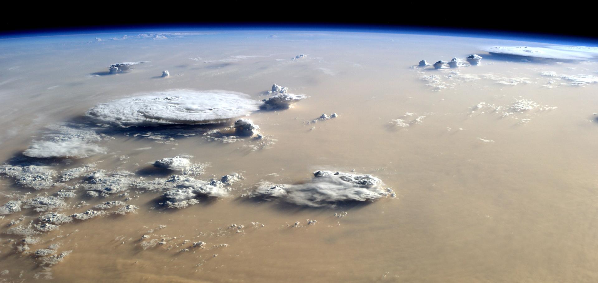
The top-of-atmosphere radiative effect of tropical anvil clouds varies with cloud opacity, and can range from substantially negative to largely positive. Recent climate model assessments have found a decrease in the proportion of thick, or opaque, anvil cloud with warming, resulting in a positive climate feedback. However, the mechanism for this change remains obscure.Lifecycle analysis of deep convective clouds tracked using tobac in the convection-permitting global ICOsahedral Non-hydrostatic model (ICON) shows how anvil area and opacity respond to convection. We find that both properties increase in response to increased convective intensity and convective area, but that their sensitivity to each is not equal. To interpret these results, we independently develop a simple analytical model that links anvil expansion and opacity to convective mass flux (CMF). The model predicts that higher CMF leads to greater anvil expansion, increasing the area of thick anvil cloud. But when anvil opacity also depends on convective intensity, we find a strong, non-linear increase in thick anvil amount in response to increasing CMF, consistent with the response observed in ICON. This implies a strong sensitivity of thick anvil amount to changes in the upper tail of the distribution of CMF and illustrates a possible mechanism by which changes in the distribution of cloud CMF could drive anvil thinning in a warming climate.Fewer but More Intense: Future Changes in Extreme Precipitation Cells from Global Kilometer-Scale Climate Modeling
Copernicus Publications (2026)
Abstract:
Earth system modeling is currently undergoing an exciting transformation, thanks to new technical capabilities that allow for significant spatial refinement. For the first time, these capabilities allow us to explicitly simulate extreme precipitation and its effects on climate-relevant timescales on a global scale. Thus, new Earth system data from high-resolution modeling approaches offer an exciting foundation for new analyses and research. In our study, we examine the distribution and changes in extreme precipitation from global simulations. We obtained this data from the ICON Earth system model simulations conducted within the nextGEMS project, which aims to create future projections up to the year 2050 with a grid spacing of approximately 5 km. Our analysis focuses on the portion of precipitation contributing to the top ten percent of globally accumulated precipitation. Using the open-source tool tobac we identify and track the resulting precipitation cells over time. Our analysis reveals that warming causes the most extreme precipitation cells to become more intense. At the same time, the data shows a significant decrease in the total number of cells, resulting in fewer, more intense extremes. Finally, we discuss these findings in relation to changes in the spatial distribution of the cells and changed environmental conditions.Global Retrievals of Cloud Condensation Nuclei and Aerosol Absorption based on the first year of EarthCARE ATLID observations
Copernicus Publications (2026)
Abstract:
Studies of aerosol-cloud interactions and estimates of the effective aerosol radiative forcing (ERF) of climate depend crucially on the vertical distribution of aerosol microphysical and radiative properties, but few reliable observations of such properties exist on a global scale. The 2024 launch of the EarthCARE mission provides new observations of aerosol extinction from the ATMospheric LIDar (ATLID) system. These observations are proving to be superior to past satellite-based lidar observations of aerosol extinction in accuracy because of the use of the high-spectral resolution lidar (HSRL) technique. These high-accuracy lidar observations can be used as input to machine-learning (ML) models to estimate cloud condensation nuclei (CCN at 0.4% supersaturation) and aerosol absorption (ABS at 532nm).We present novel ML-based CCN and ABS retrievals using the first full year of ATLID observations (September 2024 to August 2025) of aerosol backscatter, extinction, and depolarization as predictors. These higher-level aerosol properties are compared to retrievals of the same quantities derived from airborne HSRL observations by the WALES system (derived from WAter vapor Lidar Experiment in Space) during the ORCESTRA (ORganized Convection and EarthCARE STudies over the Tropical Atlantic) PERCUSION (Persistent EarthCARE Underflight Studies of the ITCZ and Organized Convection) campaign in the summer of 2024. We provide validation results of the ML-based CCN and ABS retrievals against ground-based in situ observations, which indicate relative errors less than 30% for all but the cleanest aerosol loading conditions. Based on the first year of ATLID observations, we present global maps of ML-derived CCN and ABS and suggestions for improvements in the ATLID observations. Finally, we discuss opportunities to study aerosol-cloud-climate interactions facilitated by these new retrievals and climatologies.Linking observed aerosol–cloud processes and kilometer-scale cloud-resolving simulations over the Amazon rainforest
Copernicus Publications (2026)
Abstract:
At kilometer-scale resolution, convective systems start to be explicitly resolved in atmospheric models, albeit coarsely. This allows a more process-based analysis of certain aspects of aerosol–cloud interactions in tropical regions. Convective clouds are a ubiquitous feature above the Amazon rainforest and develop under strongly contrasting aerosol conditions, with particle number concentrations during the dry season often exceeding those in the wet season by an order of magnitude.In this context, we explore aerosol and convective cloud processes over the Amazon rainforest by analyzing case studies that combine observations and km-scale cloud-resolving simulations with interactive aerosols in a limited-area configuration. Regional simulations are performed at approximately 1.6 km horizontal resolution using the Icosahedral Nonhydrostatic (ICON) model coupled to the one-moment aerosol scheme HAM-lite. The realism of the simulations is evaluated through comparison with a combination of ground-based, satellite, and aircraft observations.For the wet season, we analyze a case study based on flight RF15, conducted with the German research aircraft HALO during the CAFE-Brazil (Chemistry of the Atmosphere: Field Experiment in Brazil; CAFE-BR) campaign in 2022–2023. Three simulations are presented for this case: a best-estimate factual simulation and two counterfactual sensitivity experiments representing background “green ocean” conditions and heavy aerosol loading associated with biomass burning during dry season periods. For the dry season, we also revisit two research flights from the ACRIDICON-CHUVA 2014 campaign, representing one clean and one polluted case, to further assess the representation of aerosol–cloud processes under different convective regimes. Combining these cases, we discuss the impact of changing aerosol environments on convective systems and draw conclusions relevant to a transition toward a post-fossil aerosol regime.Linking the organization of precipitation extremes at sub-meso-alpha scales to surface wind fluctuations in a storm-resolving GCM
Copernicus Publications (2026)