

Convective controls on anvil cloud evolution in the ICON km-scale global climate model
Atmospheric Chemistry and Physics Copernicus Publications 26:10 (2026) 7105-7126
Abstract:
Deep convective clouds substantially modify the balance of shortwave and longwave radiative energy at the top of the atmosphere. Although in the present-day these effects approximately balance out, projected changes in deep convective clouds could alter the future top-of-atmosphere energy balance. Past studies have found relationships between convection and anvil clouds, but our understanding of how convection typically controls the properties and evolution of anvil clouds that determine anvil radiative effects remains incomplete, limiting our ability to explain or justify projected changes in cloud optical properties. This manuscript presents a new method to track the lifecycle of deep convective clouds and their convective cores in three-dimensional space in km-scale global climate models. An analysis of how convective organisation, intensity and area relate to anvil properties in the ICOsahedral Non-hydrostatic (ICON) model is then presented. Approximately 1000 deep convective clouds are tracked over one simulation week in the tropical Amazon region. We find that while both updraft intensity and area correspond to larger anvils, the correlation between convective area and anvil size is stronger than that between anvil size and updraft intensity. Updraft intensity was associated with a 4-fold increase in anvil extent when convective cores were larger, compared to when they were in the bottom 50th size percentile. This result could not be explained by associated changes in peak convective mass flux or organisation. These results indicate how changes in the frequency or typical size of convective updrafts may link to changes in anvil development, extent and, ultimately, radiative effects.SpectralEarth-FM: Bringing Hyperspectral Imagery into Multimodal Earth Observation Pretraining
ArXiv 2605.21075 (2026)
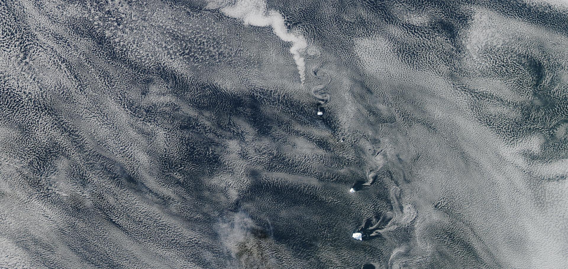
Spatial Patterns of Shallow Clouds: Challenging the Concept of Defined Regimes
Geophysical Research Letters Wiley 53:8 (2026) e2025GL119921
Abstract:
Plain Language Summary: The representation of tropical shallow cloud systems is a major source of uncertainty in climate models. Shallow clouds have previously been observed to organize in a variety of patterns. Four distinct classes—fish, flowers, sugar, and gravel—were identified, each with differing spatial scales of cloud organization. Here we analyze high‐resolution geostationary visible and infrared satellite images using a function that can objectively assess organization of cloudy pixels across all spatial scales. We see that examples of the four “classical” patterns are clearly identifiable using this function, but that they do not show up as clearly preferred regimes, but rather as way‐markers in a smoothly evolving sea of cloud patterns. This means that representing these patterns in parameterization schemes might be challenging.Location Is All You Need: Continuous Spatiotemporal Neural Representations of Earth Observation Data
ArXiv 2604.07092 (2026)
Aerosol effects on deep convective cloud microphysics and anvil lifecycle during TRACER using ICON HAM-lite
Copernicus Publications (2026)