Detection of propadiene (CH 2 CCH 2 ), propene (C 3 H 6 ) and non-detection of propane (C 3 H 8 ) in Jupiter’s northern polar stratosphere
Icarus Elsevier 457 (2026) 117156
Abstract:
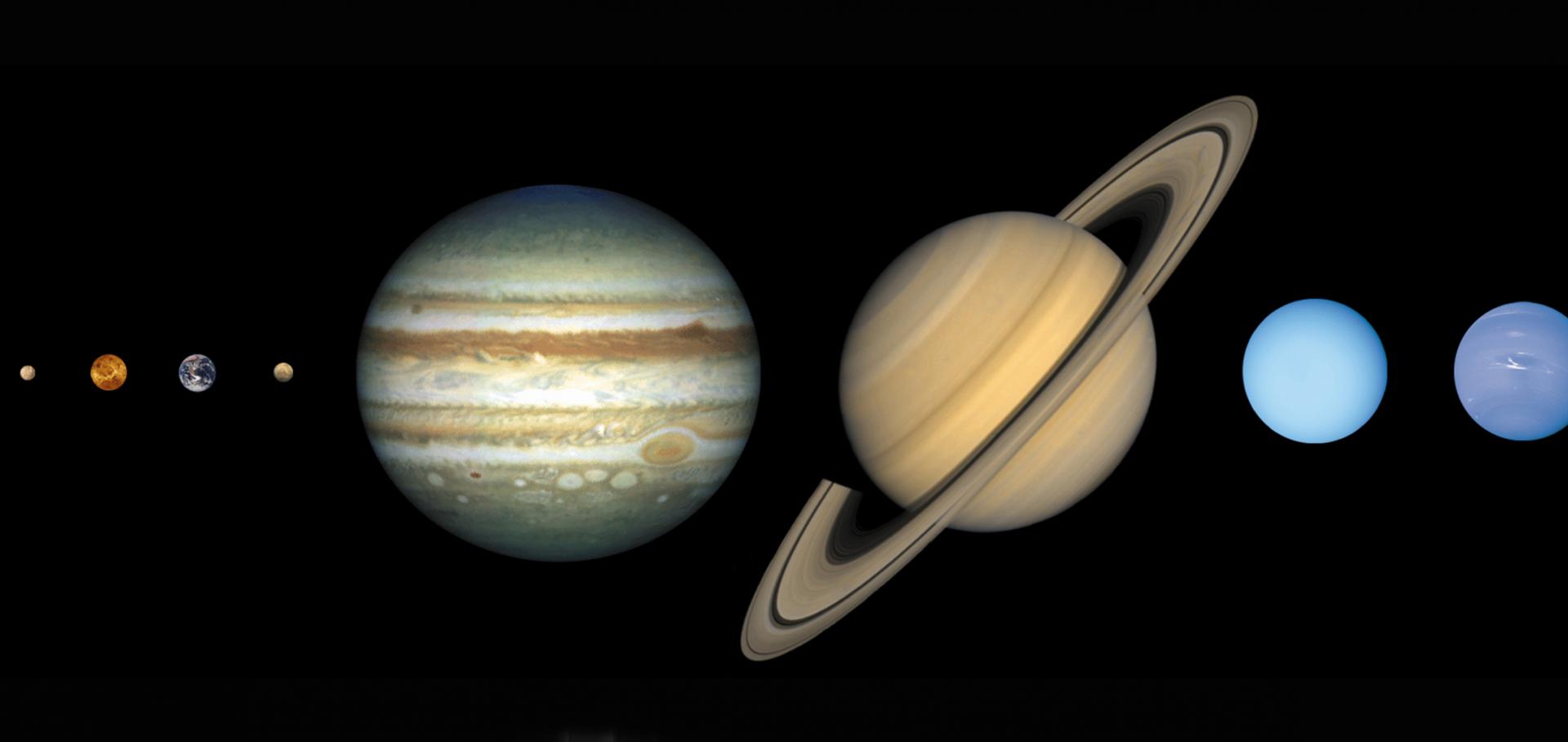
We report the first detection of stratospheric propadiene (CH 2 CCH 2 ) and propene (C 3 H 6 ) at Jupiter’s mid-to-high northern latitudes using IRTF-TEXES measurements recorded on March 5-6, 2025. Using radiative transfer software to quantitatively test for the presence of propadiene and propene, we report a > 12- σ detection of propadiene and a > 17- σ detection of propene at high latitudes inside Jupiter’s auroral region, where the species are most concentrated. For example, at 62 °N (planetocentric) inside Jupiter’s northern auroral region (henceforth ‘NAR’), we derive a 1-mbar propadiene abundance of 2.0 ± 0.2 ppbv, which is 40 ± 3 higher than abundances predicted by the Moses and Poppe (2017) photochemical model (henceforth ‘MP17’), and significantly higher than the 1.2-pbbv upper limit abundance derived at 42 °N (the lowest latitude sampled by the observations). Similarly, we derive a 1-mbar propene abundance 8.1 ± 0.5 ppbv at 62 °N inside Jupiter’s NAR, which is 28 ± 2 higher than the MP17 predicted abundance and significantly higher than the 6-ppbv 1-mbar upper limit abundance derived at 42 °N. The fact that propadiene and propene are most enriched inside Jupiter’s NAR strongly suggests that perturbations to the chemistry by auroral-related heating and exogenous ions/electrons are responsible for their significant enrichment, as has been observed for other unsaturated/aromatic hydrocarbon species. Spectral features of propane (C 3 H 8 ) were not detected at any of the locations sampled by the data (poleward of 42 °N): 3- σ upper limits of ∼ 10 ppbv at 10 mbar were derived at 62 °N inside Jupiter’s NAR, which is ∼ 2.5 times the MP17 predicted abundance. The non-detection of propane could, in part, be explained by the vertical sensitivity of its mid-infrared emission lines to deeper pressures, where there is negligible auroral-related heating to warm the line forming region. The results of this work strongly advocate for development of ion-neutral chemistry models of Jupiter’s polar stratosphere to quantify how strong auroral-related heating and magnetospheric particles modify the reaction pathways that produce higher-order hydrocarbons.Microphysical model of Jupiter's Great Red Spot upper chromophore haze
Icarus 451 (2026)
Abstract:
The origin of the red colouration in Jupiter's Great Red Spot (GRS) is a long-standing question in planetary science. While several candidate chromophores have been proposed, no clear conclusions have been reached regarding its nature, evolution, or relationship to atmospheric dynamics. In this work, we perform microphysical simulations of the reddish haze over the GRS and quantify the production rates and timescales required to sustain it. Matching the previously reported chromophore column mass and effective radius in the GRS requires column-integrated injection fluxes in the range 1×10<sup>−12</sup>–7×10<sup>−12</sup> kg m<sup>−2</sup> s<sup>−1</sup>, under low upwelling velocities in the upper troposphere (v<inf>trop</inf>≲1.5×10<sup>−4</sup> m s<sup>−1</sup>) and particle charges of at least 20 electrons/μm. Such rates exceed the mass flux that standard photochemical models of Jupiter currently supply via NH<inf>3</inf>–C<inf>2</inf>H<inf>2</inf> photochemistry at 0.1–0.2 bar, the most popular chromophore pathway in recent literature. We find a lower limit of 7 years on the haze formation time. We also assess commonly used size and vertical distribution parameterisations for the chromophore haze, finding that eddy diffusion prevents the long-term confinement of a thin layer and that the extinction is dominated by particles that can be represented by a single log-normal size distribution.A Hierarchical Modeling Study of Absorbing Aerosol Impacts on Precipitation Characteristics and Extremes
Journal of Advances in Modeling Earth Systems American Geophysical Union (AGU) 18:6 (2026) e2025MS005400
Abstract:
Mid‐Infrared Compositional Spectral Parameters for the Lunar Thermal Mapper Instrument Onboard Lunar Trailblazer
Earth and Space Science 13:5 (2026)
Abstract:
The Lunar Trailblazer mission launched in February of 2025 with the goal of characterizing lunar surface water through a targeted campaign. One instrument on the mission, the Lunar Thermal Mapper (LTM), was tasked with measuring the surface temperature to compare with maps of the form and abundance of water on the lunar surface. LTM's secondary science goals were to identify regolith composition and thermophysical properties as exhibited by mid‐infrared spectral features. Here we show the utility of LTM in distinguishing lunar regolith composition with its 11 narrow bands. Five spectral parameter products were developed to aid in early identification of regions of interest for follow‐on spectral analyses. These products include the Christiansen feature (CF) value, weighted absorption center (WAC) value, WAC band depth, Transparency Roll‐off, and a Diviner CF value equivalent. These products would be used mainly to flag these regions for more detailed follow‐up study with the entire spectral capabilities of the mission instrumentation. The Lunar Thermal Mapper (LTM) is one of two instruments on the Lunar Trailblazer mission launched in February 2025. LTM's primary goal is to provide surface temperature measurements for the lunar surface, in particular for identifying and mapping water on the Moon. LTM is also capable of identifying the compositional and physical properties of different rocks on the surface. Here, we test those capabilities and determine five methods for quickly distinguishing bulk properties of the lunar rocks that can be used by the community to identify regions of interest for further investigation. Mid‐infrared compositional parameters were created and tested for the Lunar Trailblazer mission Spectral parameters can distinguish bulk silicate mineralogy, and identify regions of compositional interest The Christiansen feature roll‐off parameter can provide an initial identification of areas with distinct thermophysical properties Mid‐infrared compositional parameters were created and tested for the Lunar Trailblazer mission Spectral parameters can distinguish bulk silicate mineralogy, and identify regions of compositional interest The Christiansen feature roll‐off parameter can provide an initial identification of areas with distinct thermophysical propertiesPost‐Acquisition Image‐Based Localization for High Resolution Thermal and Visible/Shortwave Infrared Images With Application to the Lunar Trailblazer Mission
Earth and Space Science 13:5 (2026)